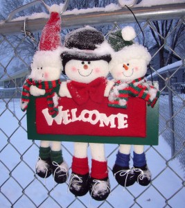
Welcome to Christmas 2012
For all who are visiting this blog as a result of receiving our Christmas cards, welcome and Merry Christmas! The same for those who have visited in the past. It’s nice to have you stop by. (Click on any photos in this post to bring up larger versions.)
Pam and I had the typical year with both high and low points. I will cover a few of them here, but you might want to go back through previous posts to get more details and view photos of these events. At the top of the page is a link to my photo galleries. The galleries include photos of our land, trips I have taken on my ATV, collections such as my fall colors photos, and other general interest collections. Viewing them is a good way to kill a couple of minutes!
Pam’s father, Myron, passed away in February. This leaves both of us without fathers at Christmas for the first time. Myron was a Navy veteran and was interred in his home town of Merrill, Wisconsin. I must give a public “Thank You” to Pam’s eldest brother, Larry, who had taken it upon himself to take care of Myron’s affairs for the many months Myron was in care facilities. Larry did a geat job.
That was probably “the biggest downer” of the year. However, we also had high points.
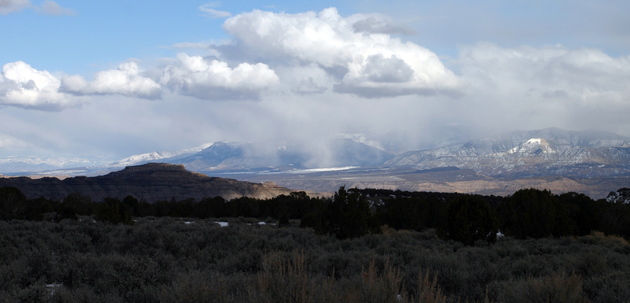
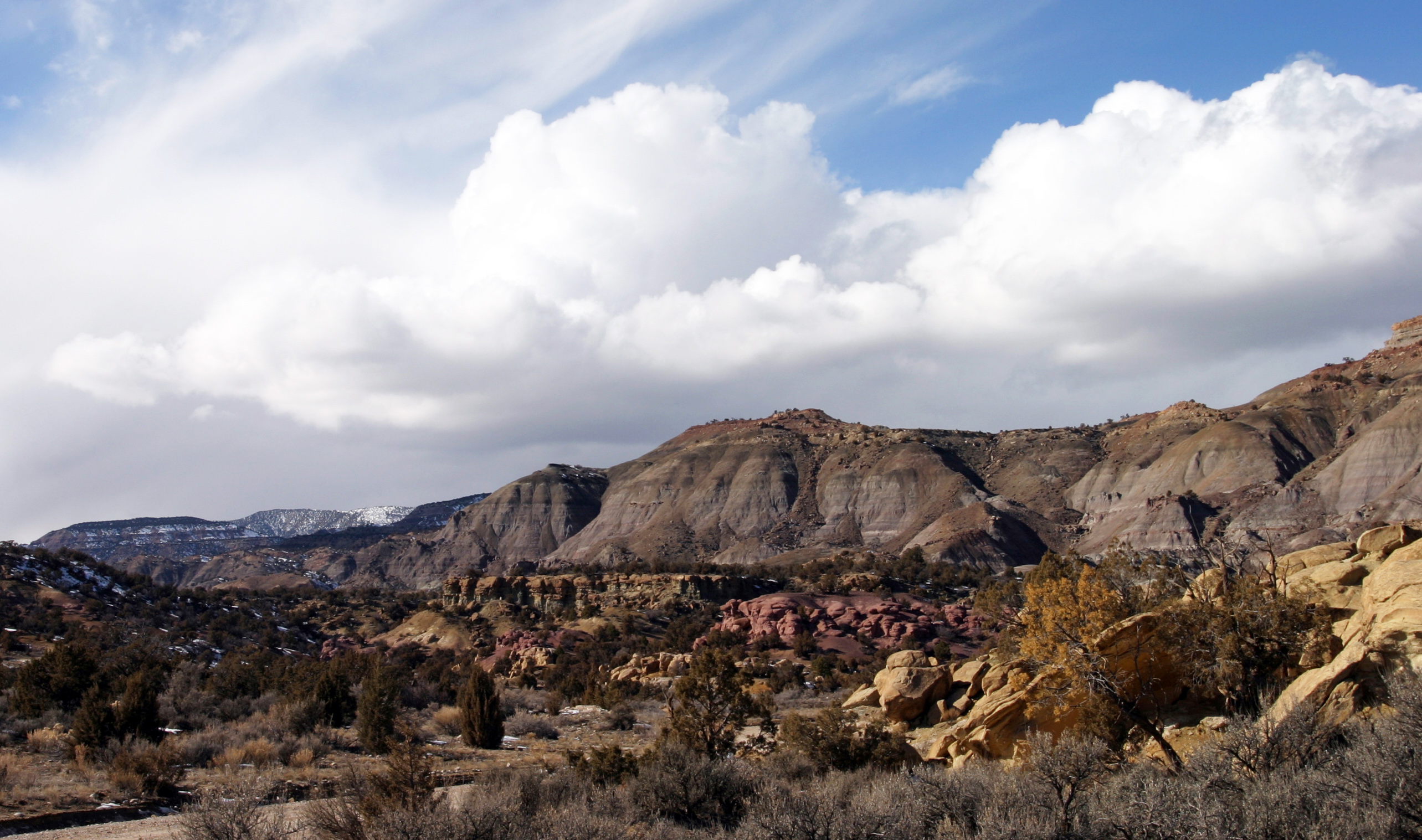
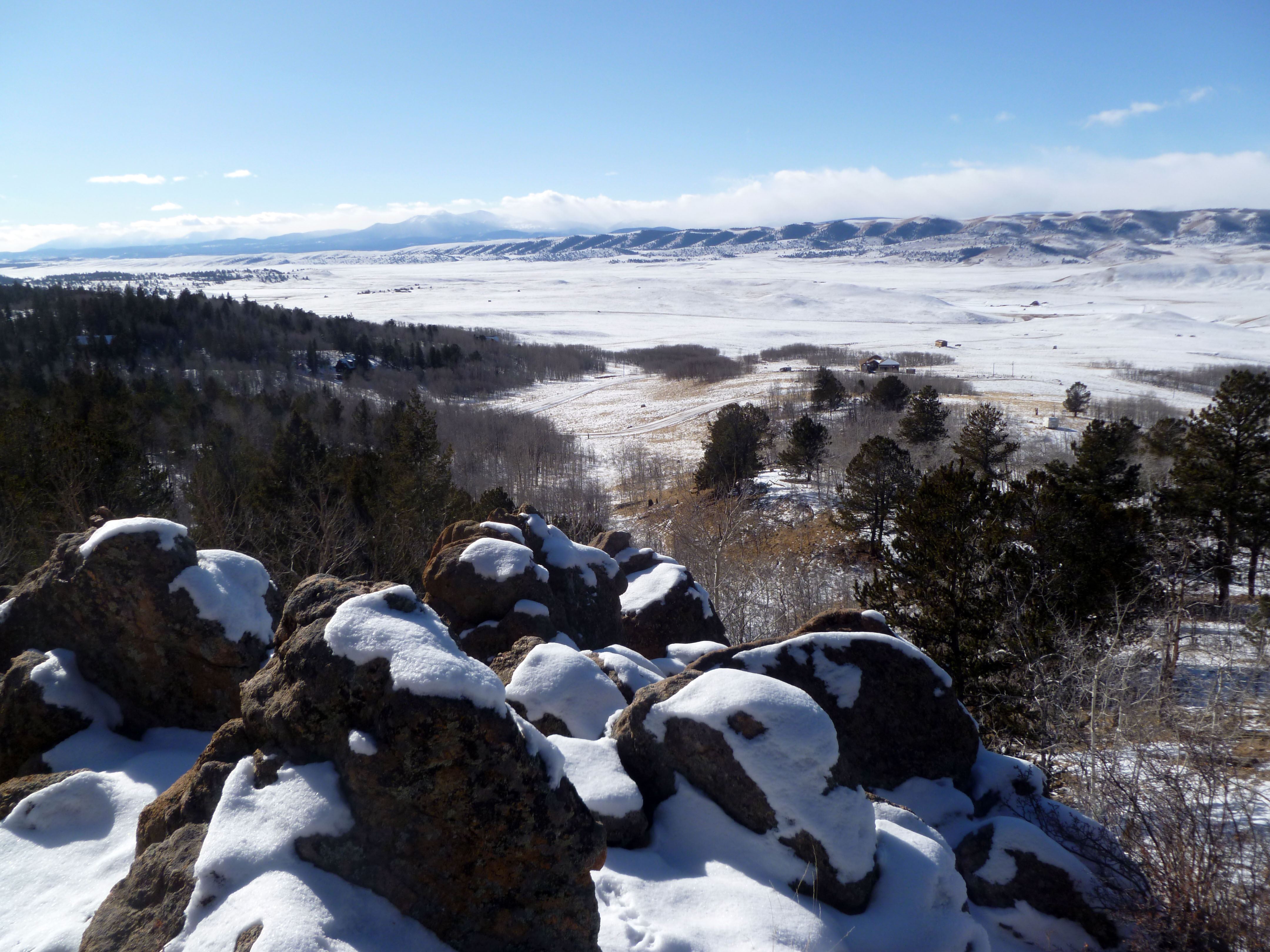
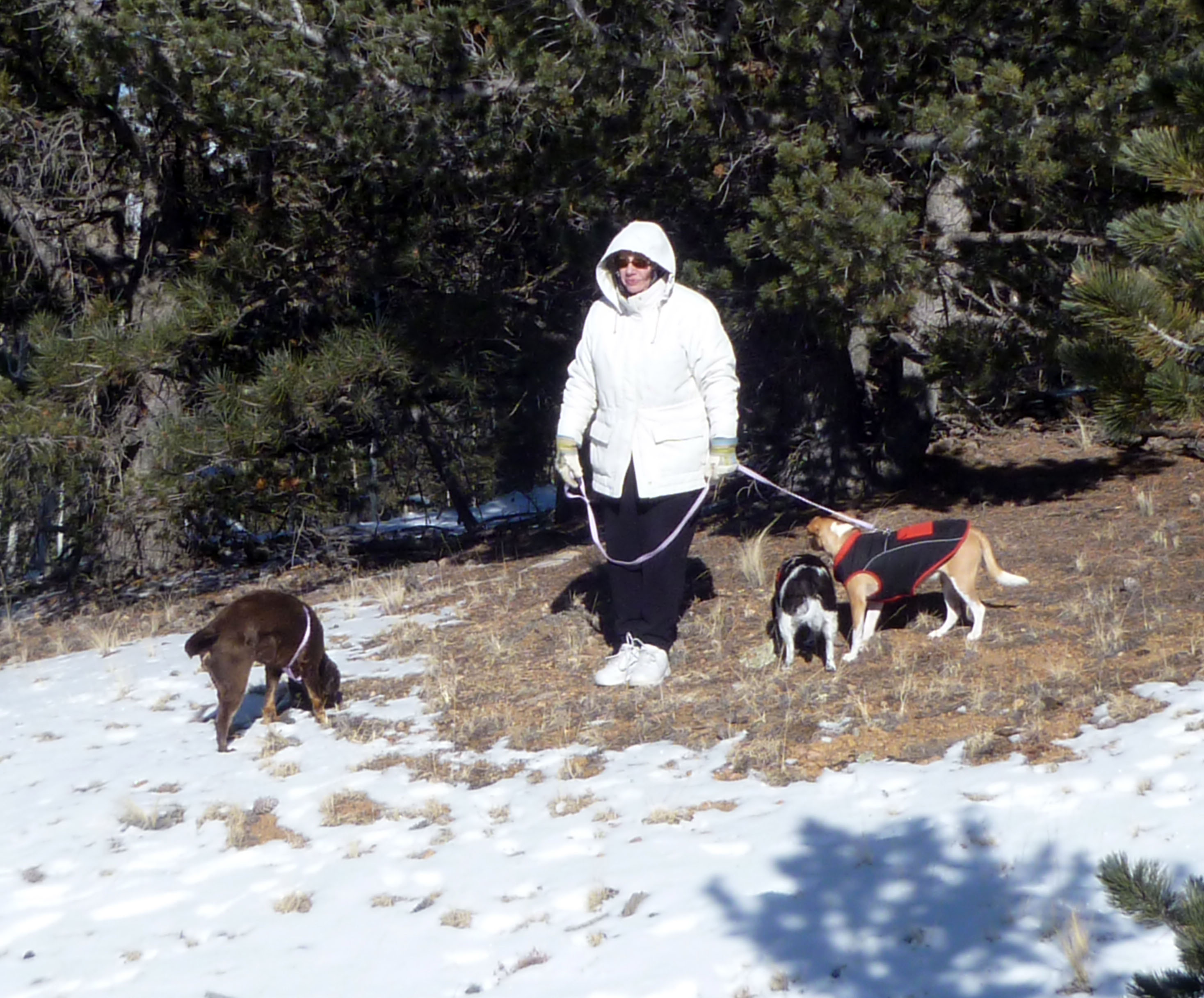
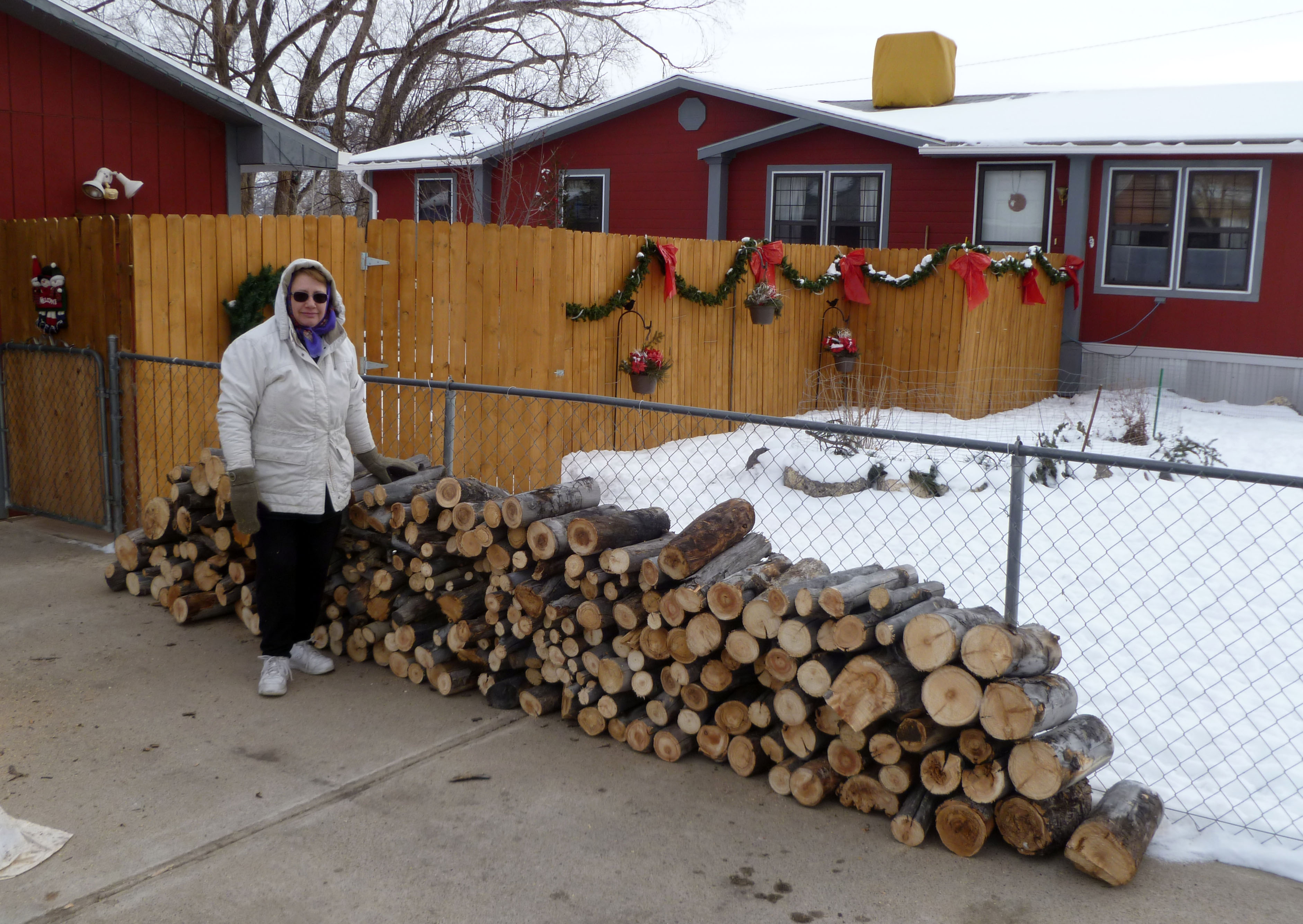
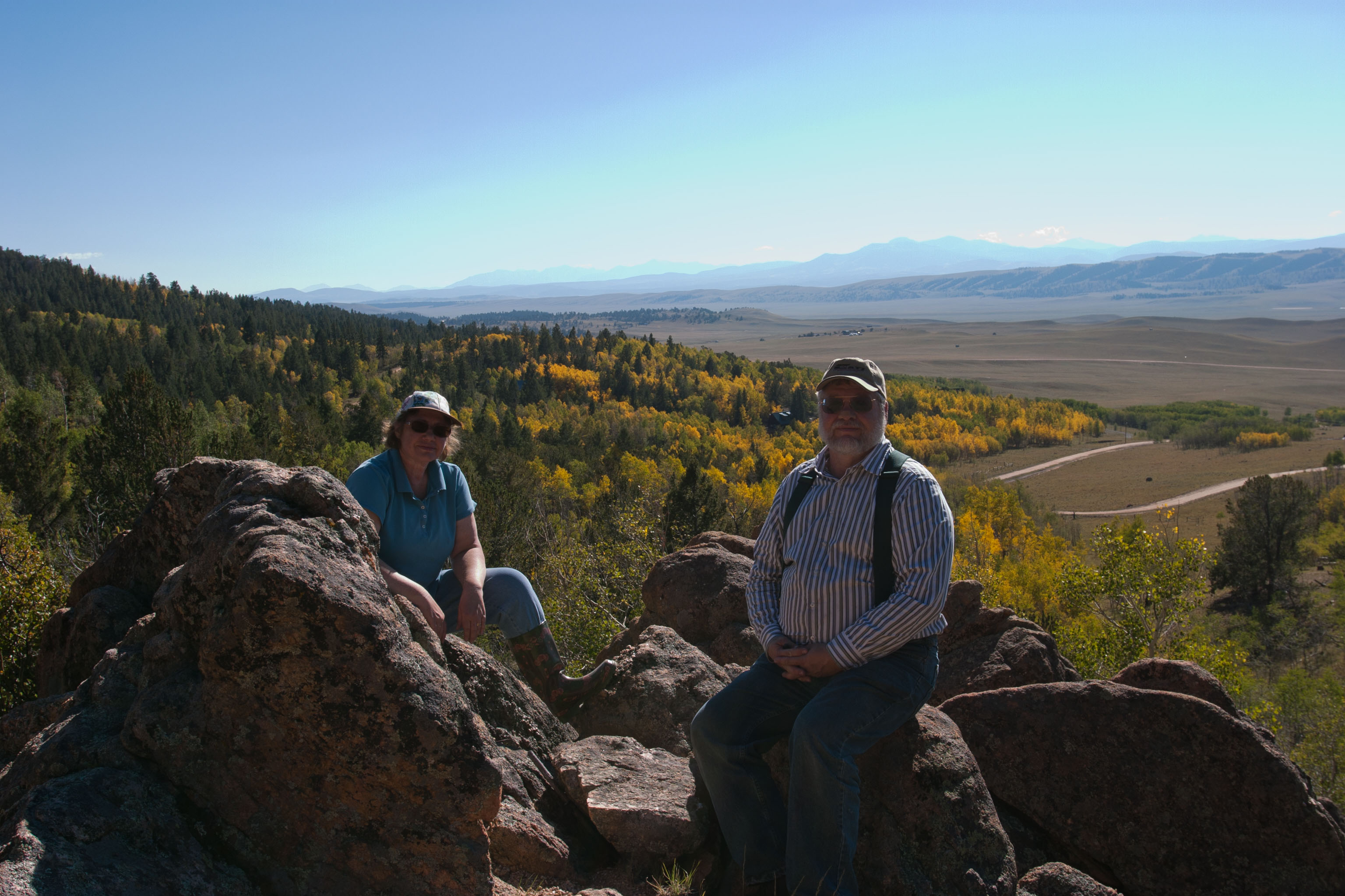
For the last couple years we had been looking for a piece of recreational land in the mountains of Colorado, and finally found a 7 acre place that fit our budget and “want-to-have” list. The driveway will be long and expensive, but the lot itself has a good mix of evergreen and aspen, a decent place to build a cabin, and does not look over a next-door neighbor. Did I mention it’s at 9,600 feet in elevation? We closed on September 14 and have begun the process of putting in that difficult driveway, clearing the lot of some dead wood, and just enjoying being in the high country. You can view more photos of our lot by clicking on this Sanderling link. (The lot address is off Sanderling Court.)

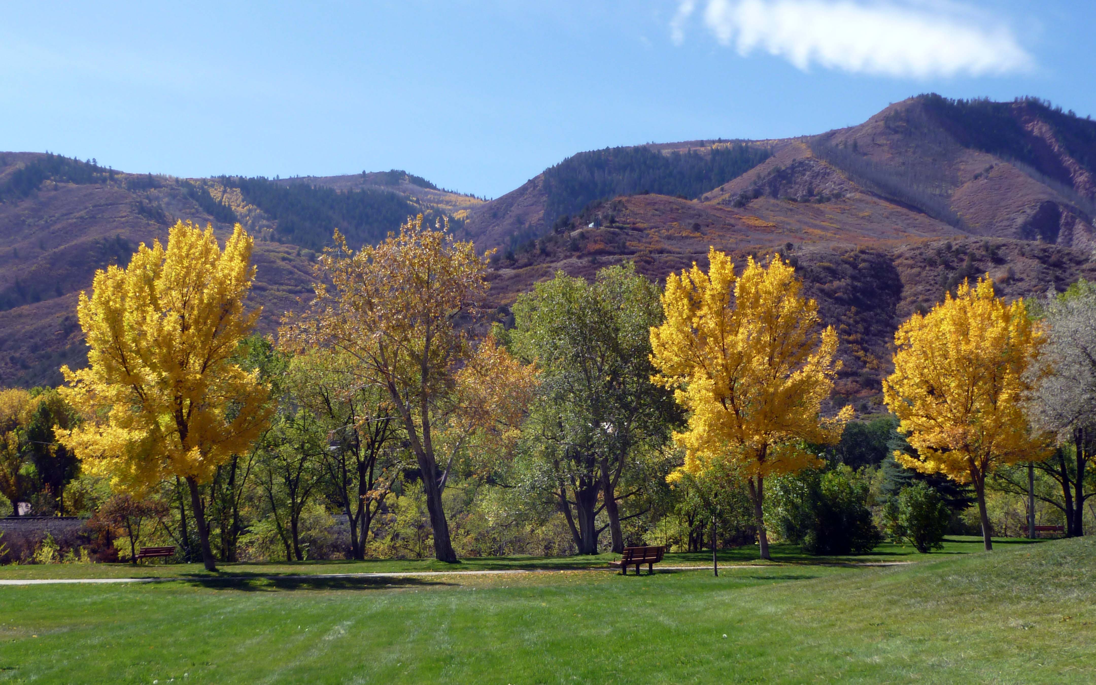
View of South park from our lot.
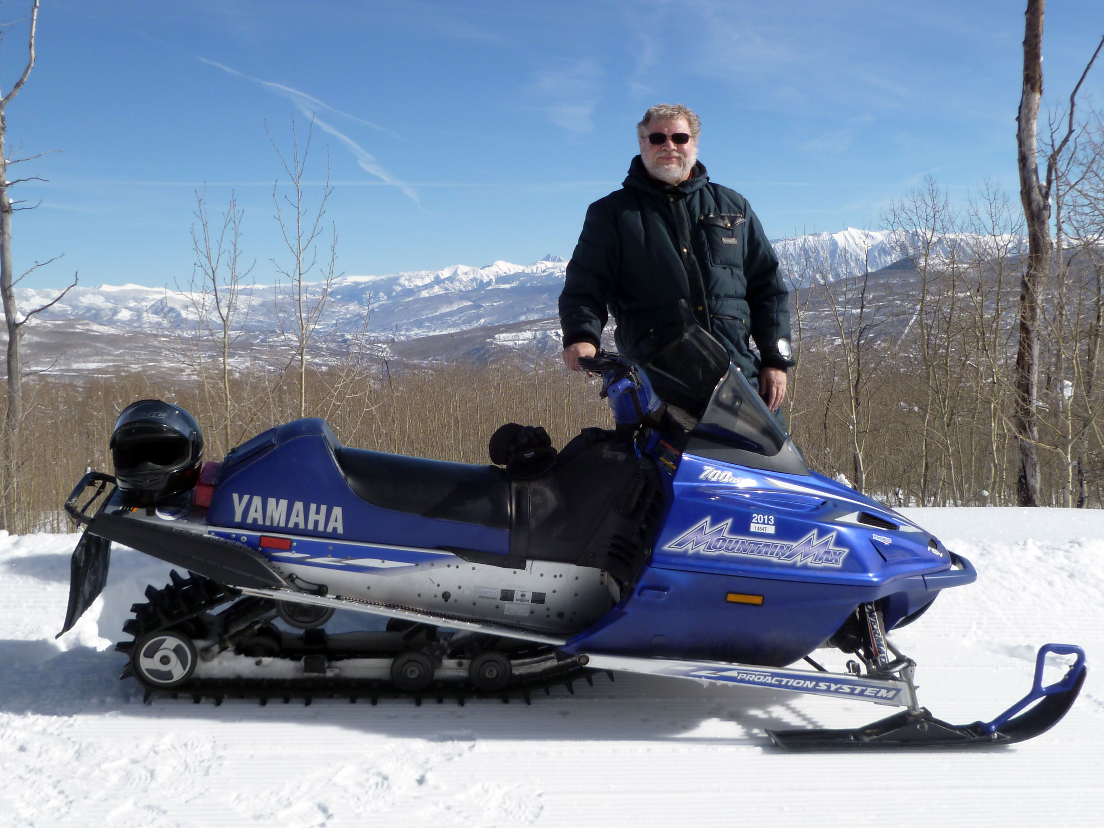
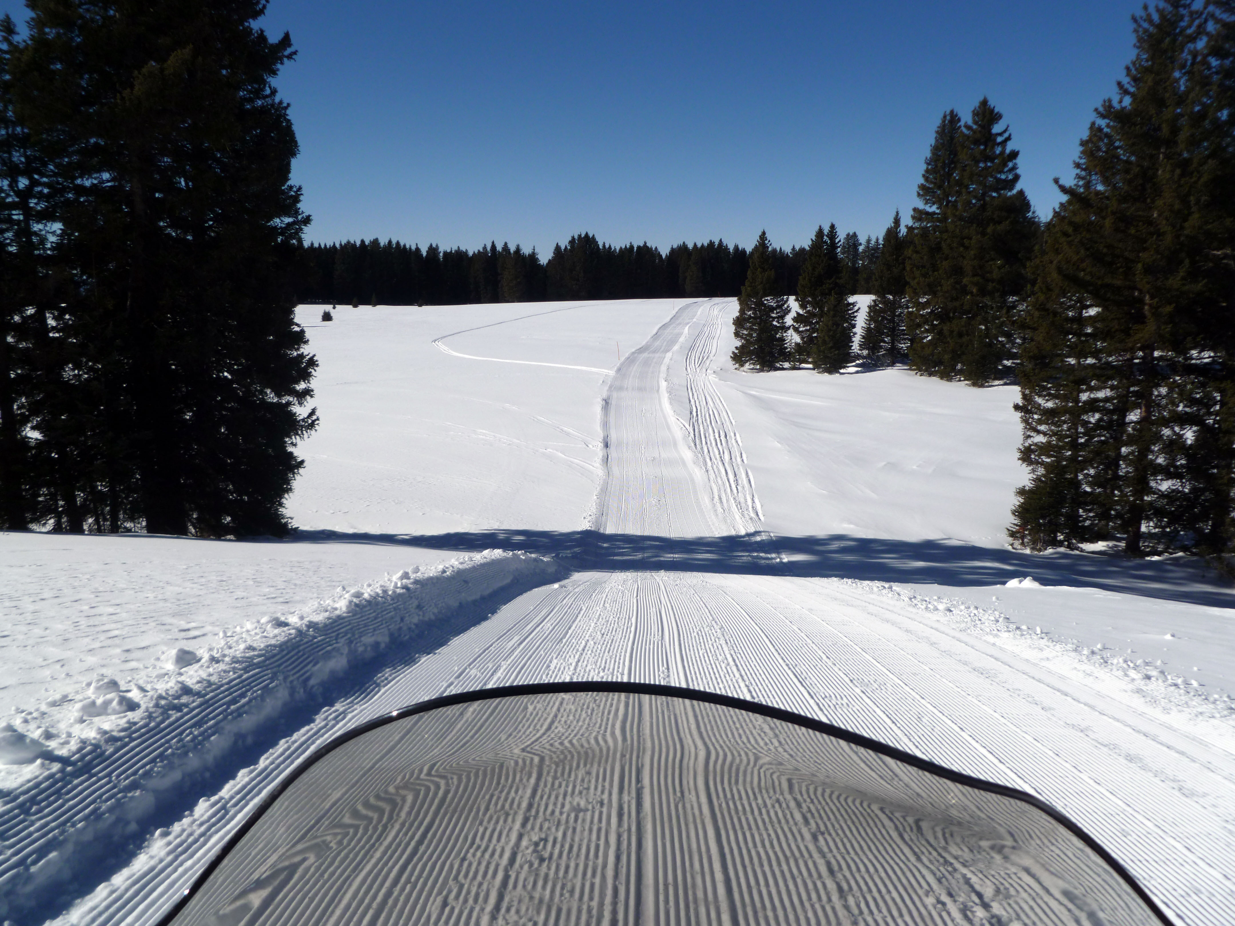
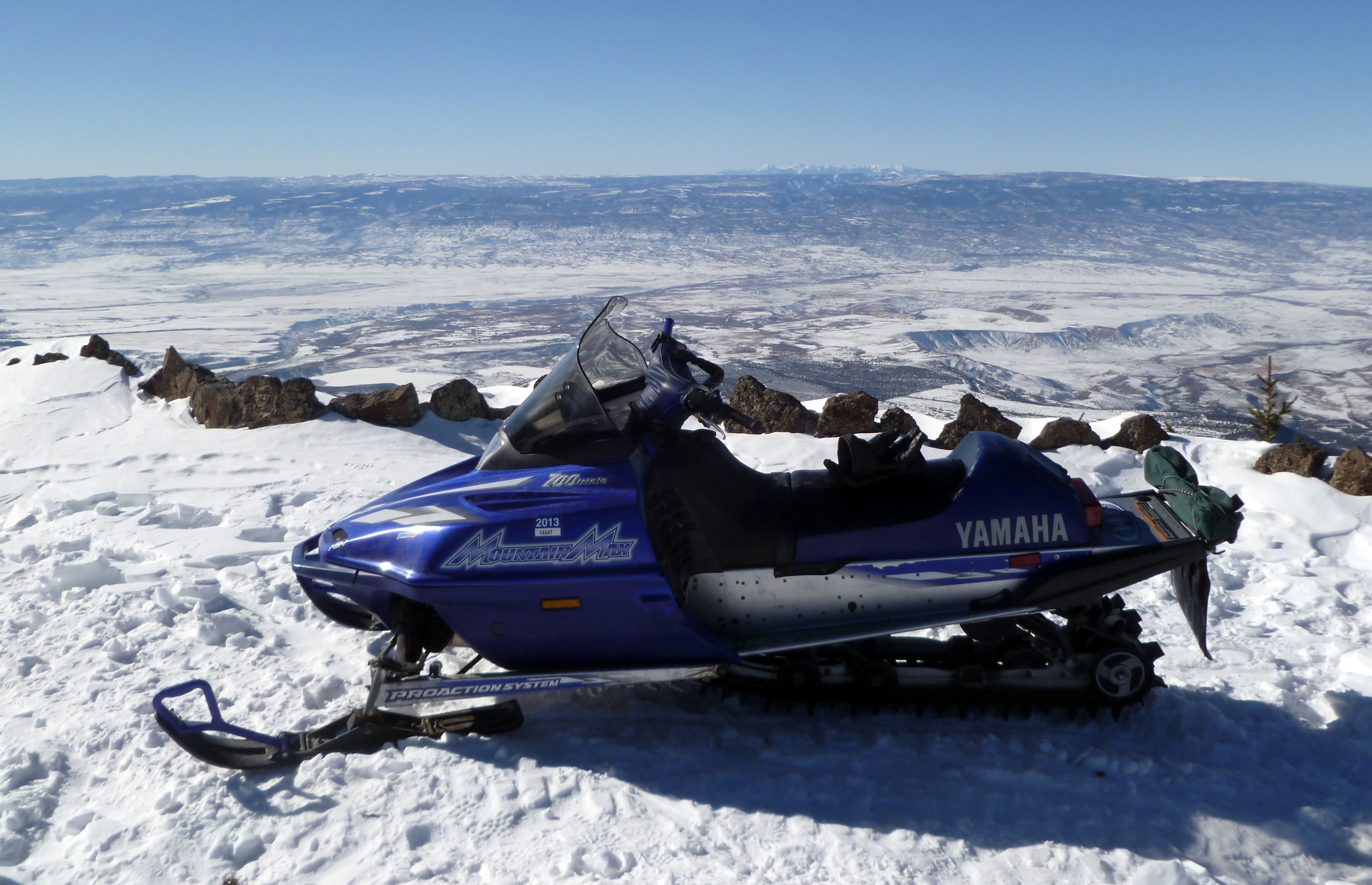
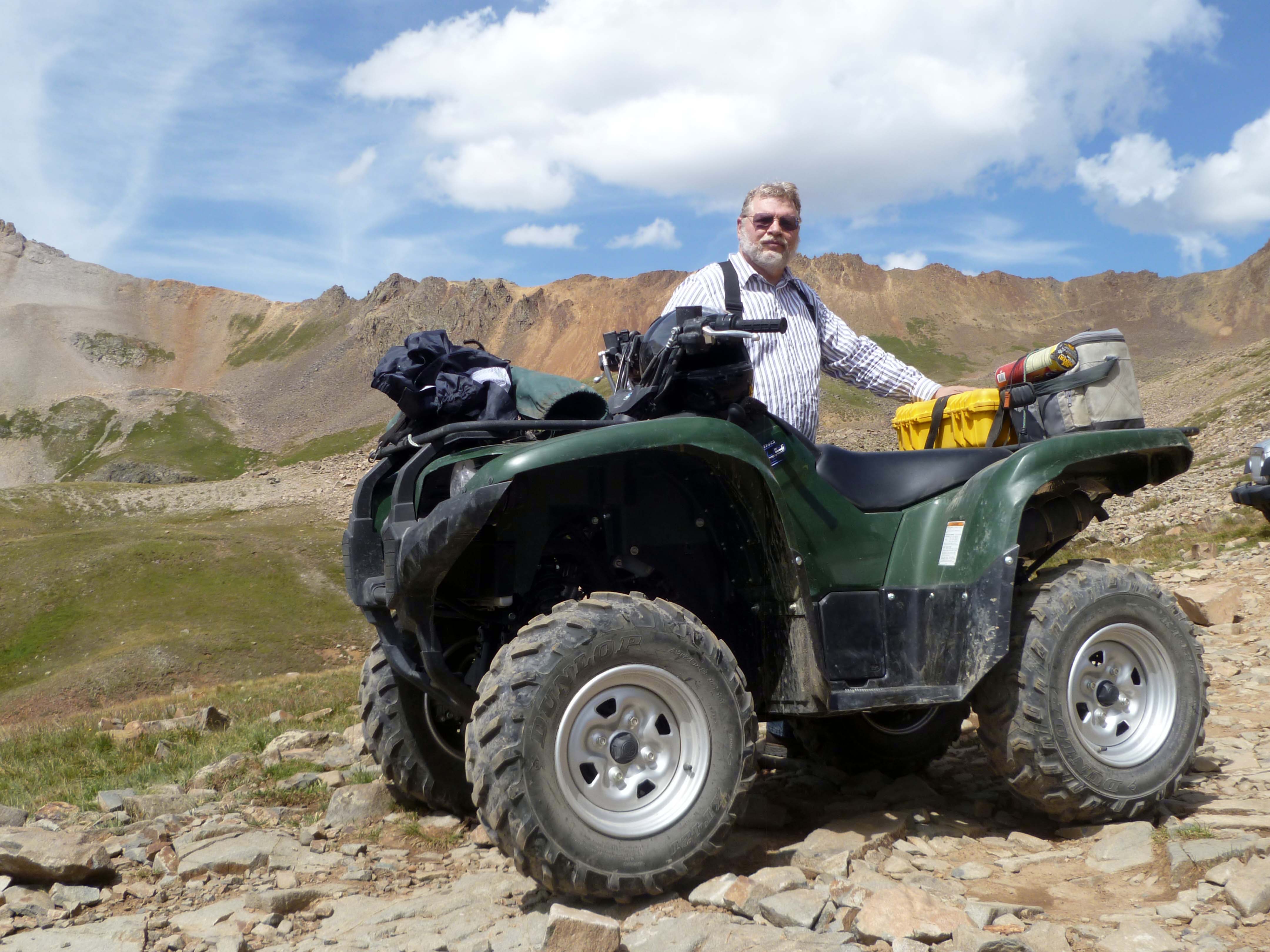
I was able to take my ATV, acquired in November of 2011, out on some excellent rides in Colorado and Utah this year. One of the reasons I enjoy Colorado is due to the state’s rich history of mining and railroading, and I greatly enjoy mountain scenery. Getting off-road with the ATV helps me enjoy all these elements. Photos of these trips can be found on the Galleries page in the “ATV and off-road trips” section.

Jerry with “The Griz” ATV in Tomboy Basin
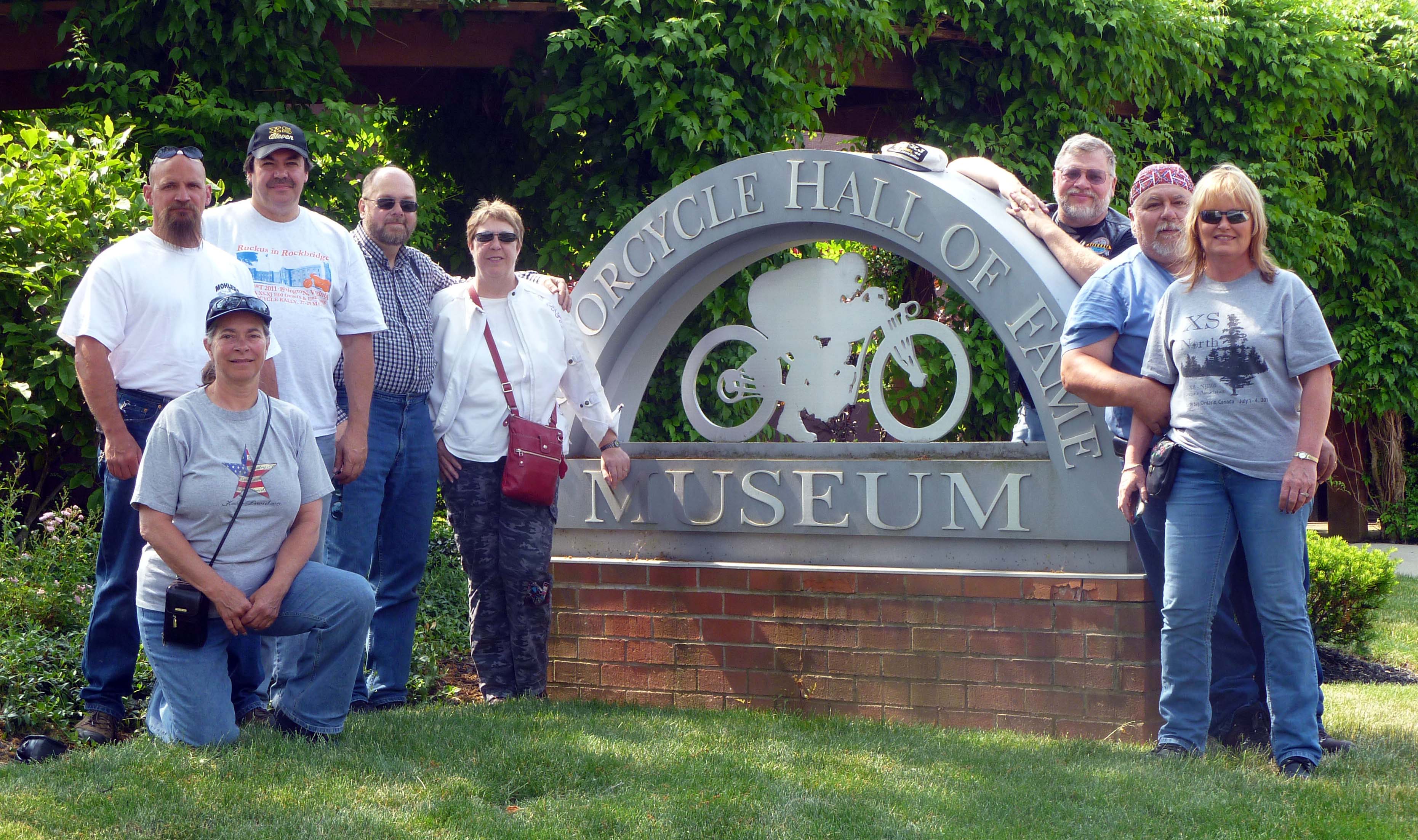
Other activities for 2012 included a motorcycle ride to Ohio where I joined a few dozen club members. We were able to ride in eastern Ohio and western West Virginia and worked in a visit to the American Motorcycle Association’s museum. I enjoyed this trip, which took place a few days before and after Memorial Day.
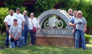
Jerry (back right) with club members at AMA Museum.
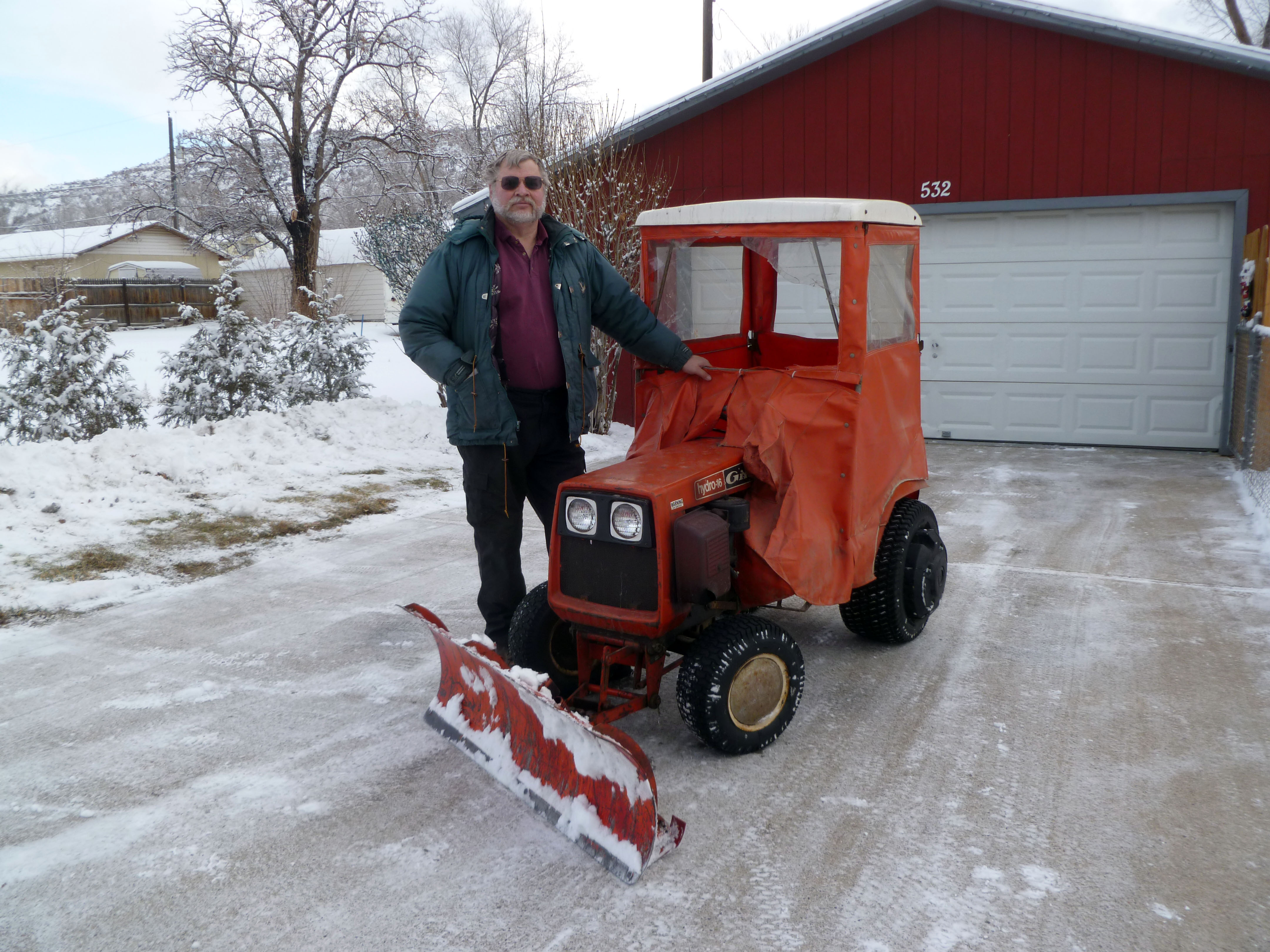
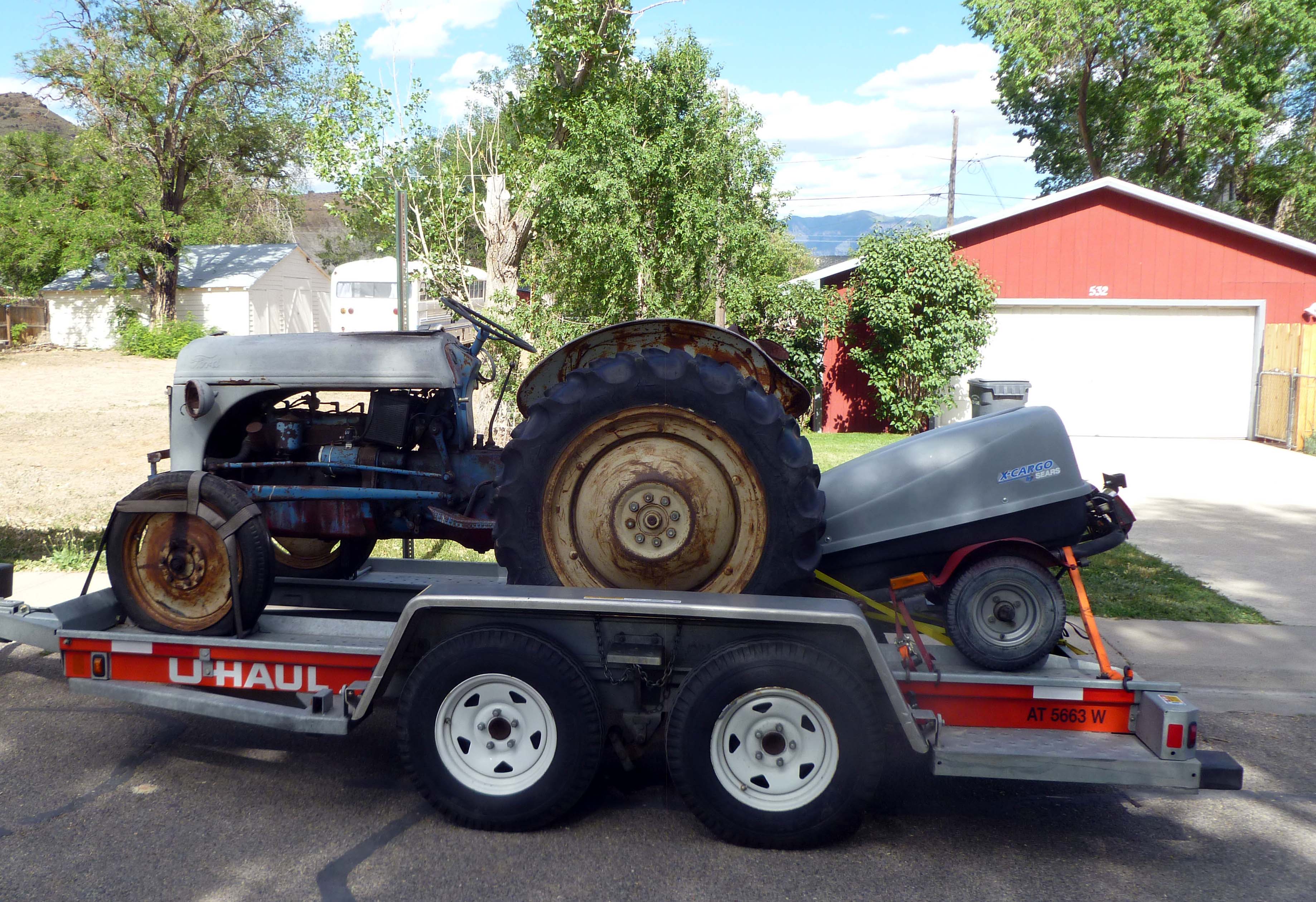
While not of high interest to many people, I was able to bring my Dad’s old 8N Ford tractor back to Colorado and begin working on it. Many of my blog posts have details of the trials and tribulations these repairs generate. My goal is not to restore the tractor, but to have it in good running condition and use it to pull a trailer around the mountain lot while we get firewood, plant trees, haul landscaping materials, and other light-duty work. The tractor has been in the family for more than 45 years and many family members, including all of Mom’s and Dad’s grandkids, have memories of riding behind “Grandpa’s tractor.” My brother Jon, Dad and I also used this tractor in the woods during long-ago summers, when we cut and sold pulp to cover college expenses. I would like to keep it going a few more years.

Bringing the 8N home.
Pam was, as usual, active in fostering kittens for the various rescue agencies in the area. She had a couple batches of kittens to take care of, and kittens are always fun. Pam does an excellent job of raising the kittens to the point where they can be returned to the shelters ready for adoption. It seems like the ones that come out of our house are adopted very quickly, as the kittens are so well acclimated to house-hold living, dogs, and other cats. The last batches all were adoped within 3 days of getting back to the shelter. We’re always glad to see them get into good homes — that’s what fostering is all about.
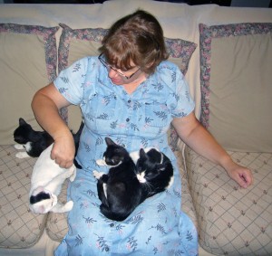
Pam with a batch of foster kittens.
Son Toby moved back to the Midwest (South Bend, Indiana) in October. This move was something he had saved for and planned for some time. Toby said when he had a choice of where to live, a choice he could make for himself, why not live next to Notre Dame University? We hope it works out OK and that he finds a job. Daughter Felicity entered Year Two of running her own social media company. Felicity is our “city girl” and enjoys the music and cultural opportunities that a large metro area (Portland, Oregon) can offer. She recently joined a singing group and has been performing at concerts around the Portland metro area. You can see more about our kids on our Kids page.
Over the months we completed some home improvement projects, such as adding a privacy fence to our back yard and upgrading lighting in the garage. Over-all, though, it was a quiet year compared to some.
We do seem to be busy and life (particularly vacations) seems to pass quickly. Please keep visiting this site; it is the best way to get a peek into what we are doing with our time and energy.
And finally:
The Mayans were wrong. Happy New Year!
That’s it for now. Thanks for looking in!