I’ve mentioned Boreas Pass many times in the course of the last 3 years. A favorite trip of ours when we first moved to Colorado, Pam’s mother visited it with us and asked that her ashes be scattered up on Boreas after she died. This request was honored. We’ve visited Boreas Pass every year since we returned to Colorado in 2003, but we usually approach from the Breckenridge side; we proceed to the top of the pass then return to Breck. Only rarely have we visited the other side of the pass, which terminates in Como.
As noted in my last post, I decided to take a trip over Boreas Pass on my way home from the lot last weekend. Included here are a few photos of the south side of the route.
Since the Boreas Pass route was originally a railroad line, and I have an interest in Colorado rail history, much of what follows may be a bit boring to the casual reader since much of this post deals with this railroad’s history.
The town of Como, located on Colorado Hwy 285, started as a coal mining town. Seventeen miles away, over Boreas Pass, Breckenridge was a booming gold and silver mining town. The railroad was built to connect the two towns. It supplied Breckenridge and mining camps along the way with transport, supplies, people, and equipment. The railroad came out of Denver via Kenosha Pass, giving short and quick (for the day) access to the Denver markets and transportation system. As the mines played out and other roads were built, the line fell into disuse and was abandoned. The rail line over Boreas Pass was converted to auto traffic in 1952. The current Hwy 285 follows, in many cases, the route of the rail line over Kenosha Pass into Denver and is a nice drive in it’s own right.
The Forest Service has started to recognize the historic significance of this route and has rebuilt the old section house, Baker water tank, and has improved maintenance on the roadway. Today the trip is a popular tourist destination and mountain bikers and hikers frequent the area. The route is not open in the winter but can be driven with a regular car during the summer months. There is a Forest Service campground about a mile off the route that is heavily used.
Anyway, so much for the schpiel. Let’s see the photos!
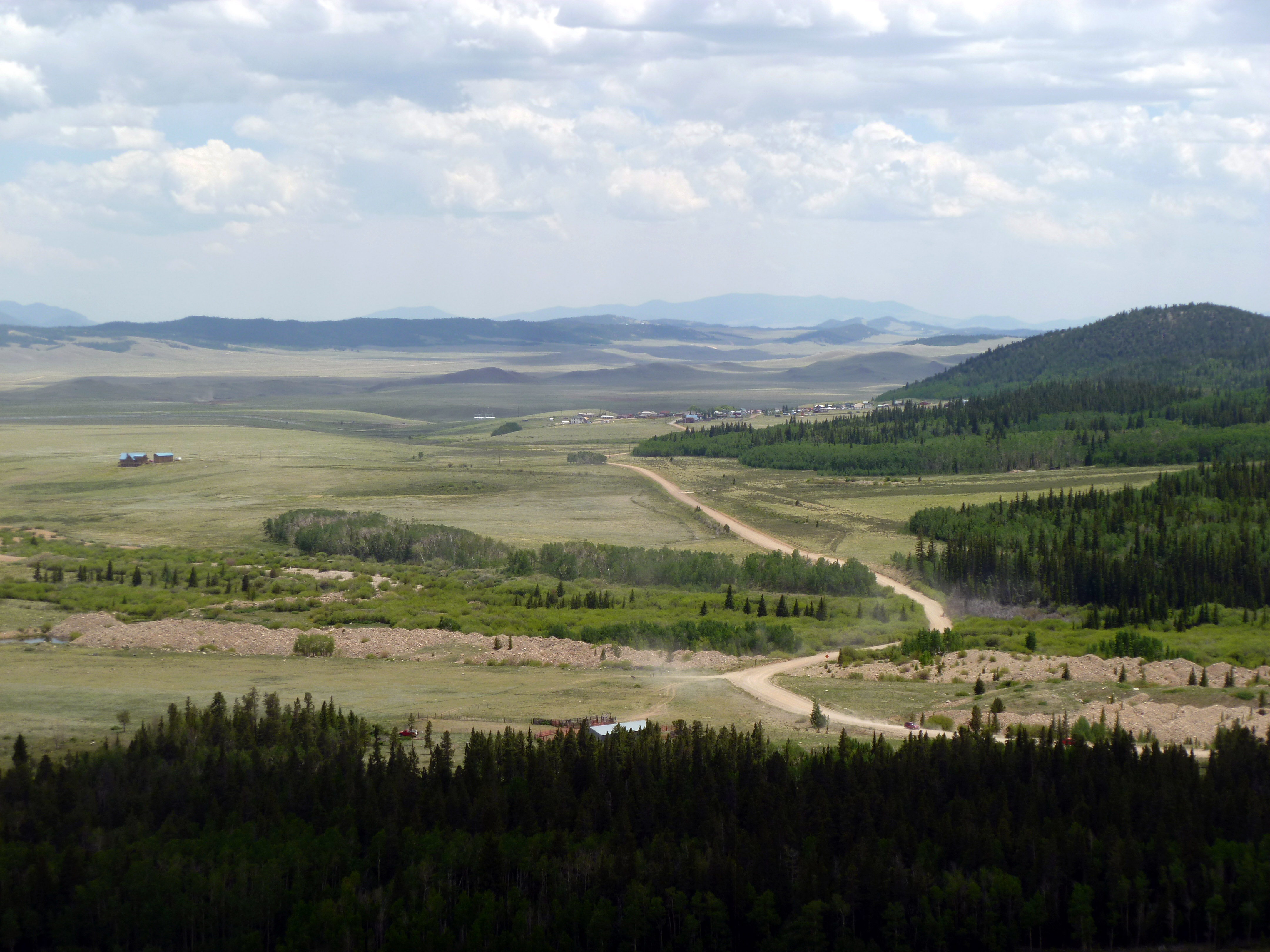
Town of Como from Boreas Pass road
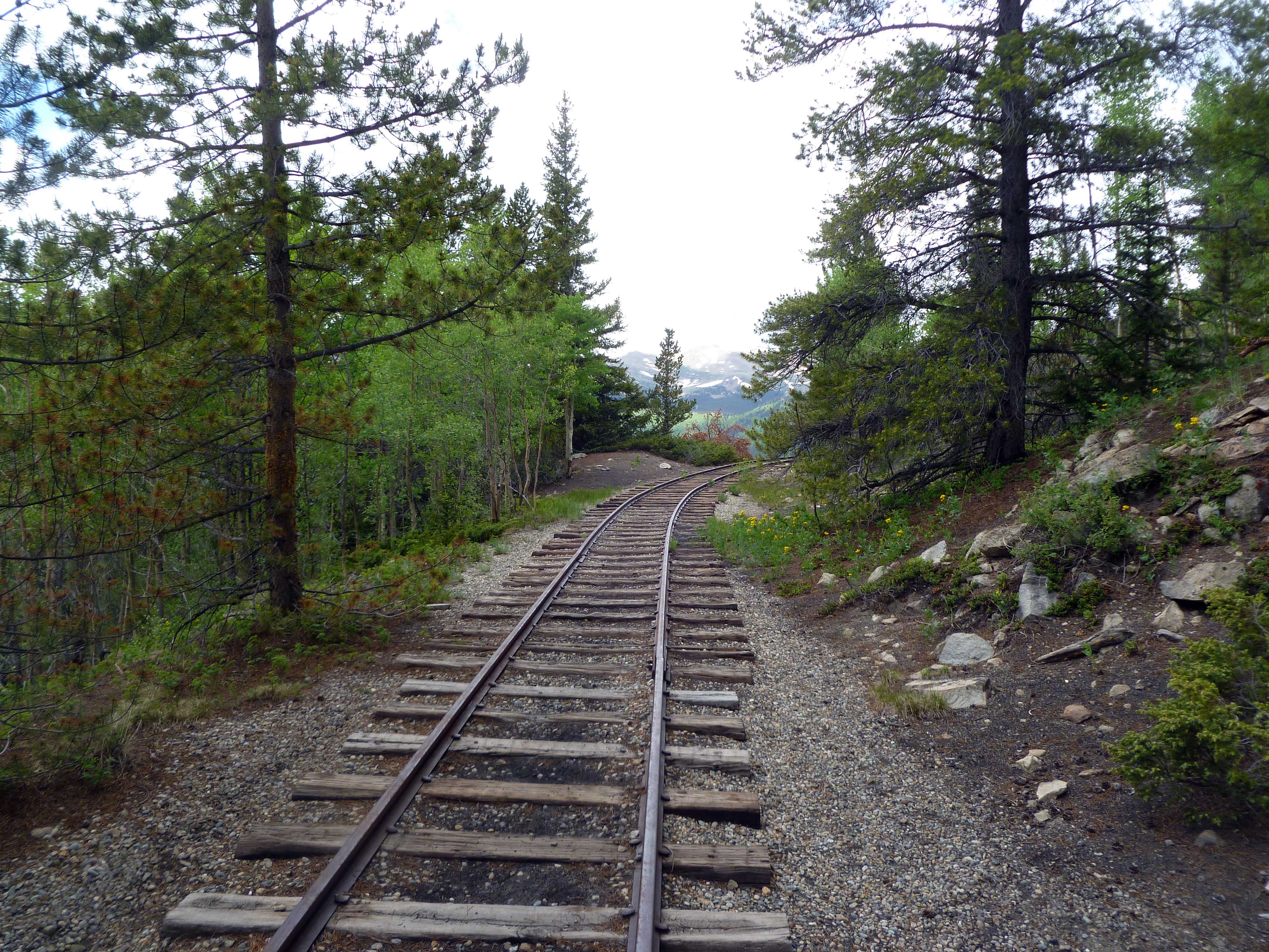
Reconstructed bit of railroad on Boreas Pass
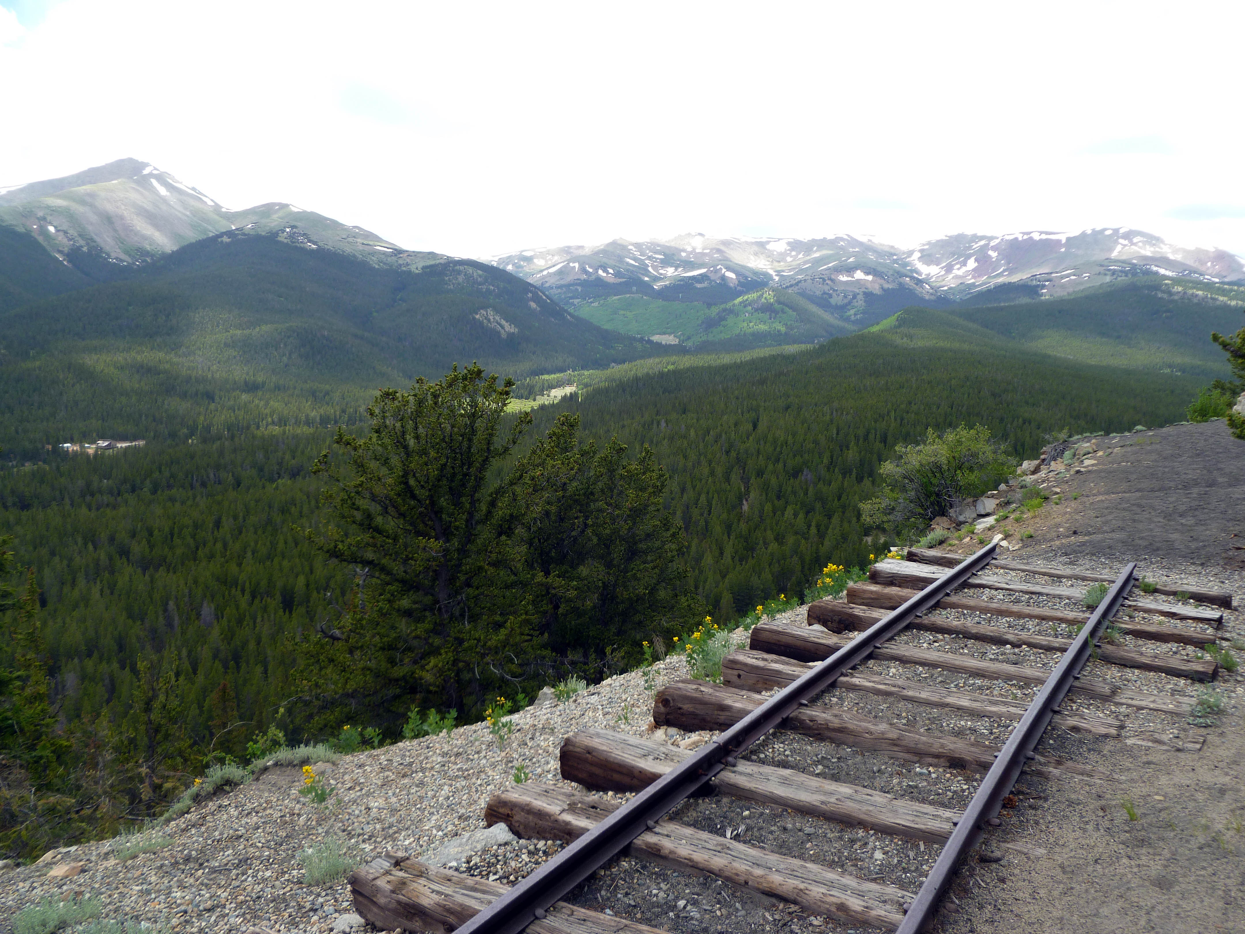
Line ran along Rocky Point giving fantastic views of Mt. Silverheels
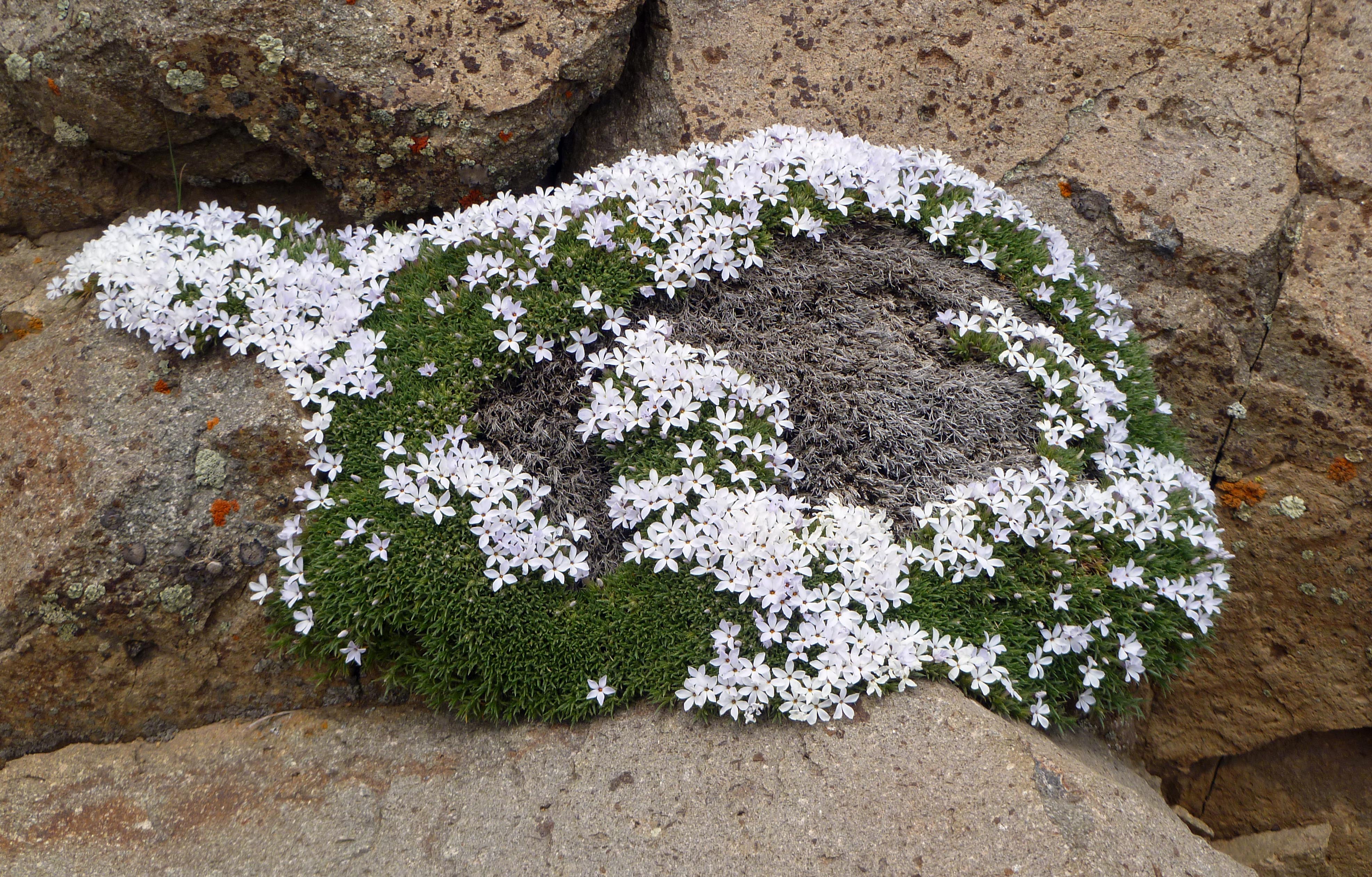
Flowers growing, literally, out of the rocks along the old roadbed
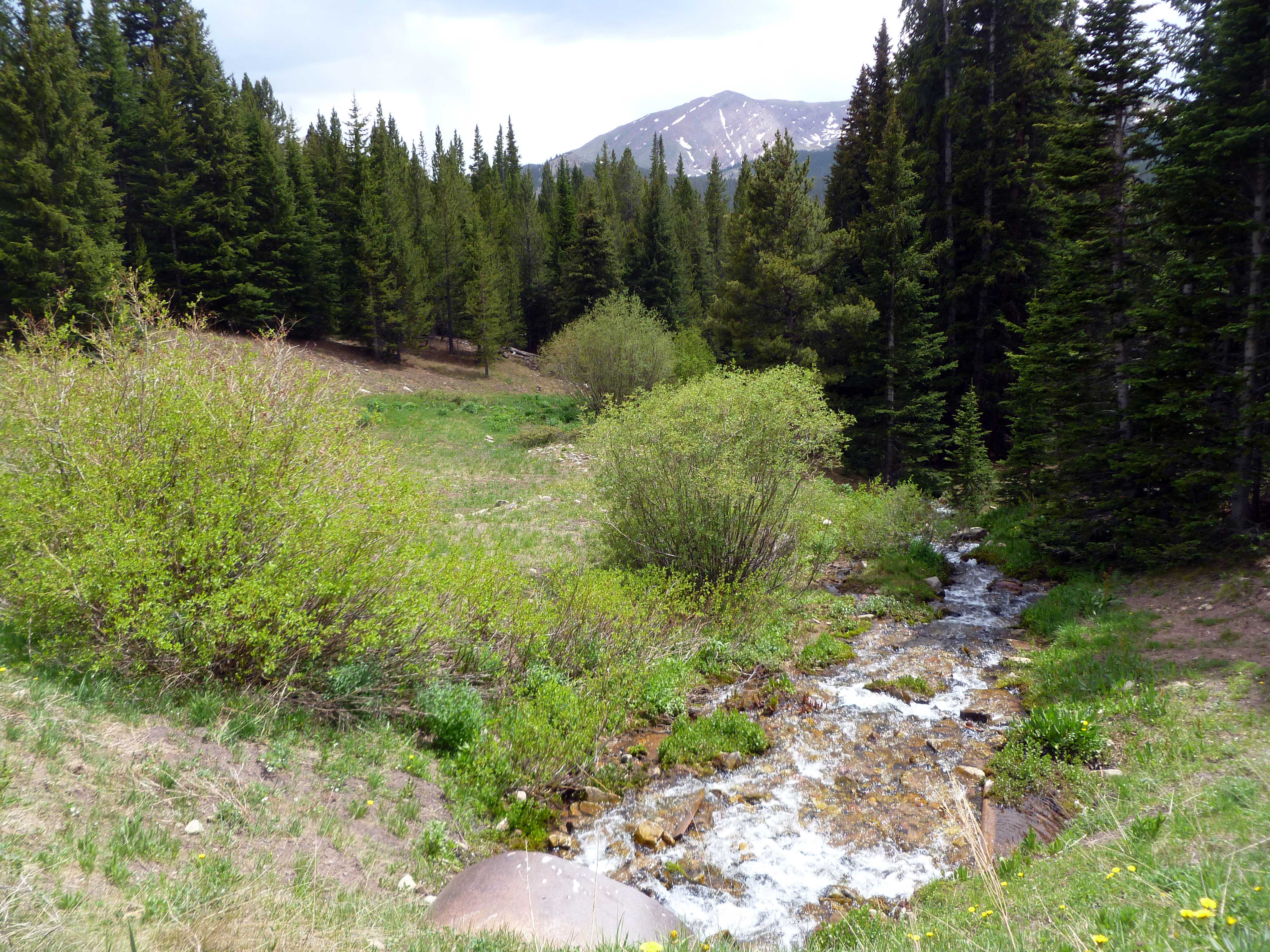
One of several streams crossed on the Boreas Pass route
This trip has long been a favorite of ours, and now that we are in the area more often (we can see the lights of Como at night after a 5 minute walk down Sanderling Court) we’ll be taking this route more than once a year.
That’s it for now. Thanks for looking in!
Nice Boreas Pass update. I enjoyed the photo “looking back a Como”, especially how flat it looks. I imagine laying the narrow gauge bed was neither inexpensive or easy, though it was certainly profitable as long as the mines were working.
It’s nice to see the Forest Service taking more of an interest — self-interest in many ways, as a tourist location always generates income. There’s a lot of Colorado history that should be remembered — actually, a lot of history across the country — at least Colorado is doing some “remembering”…